Columbus Weather: What to Expect This Week and How to Stay Safe
Columbus weather is always a topic of interest for residents and visitors alike, especially during spring when conditions can change rapidly. Understanding what to expect in the coming days helps keep you safe and prepared. Let’s break down the forecast, explore what weather trends mean for Central Ohio, and share tips for staying ahead of severe storms.
Current Columbus Weather Forecast
Central Ohio is facing another stretch of active weather this week. According to forecasts, Thursday will see the highest risk for severe storms. Wind and hail are the primary concerns for Columbus weather during the afternoon and evening hours. Forecasters expect showers to stick around through Saturday morning, so keep your rain gear ready.
The 10TV Weather Impact Team highlights that storms will likely arrive in several waves. Most severe weather is expected before 10 p.m., after which the risks should decrease. While tornado chances are low, it’s important to stay alert—especially with wind and hail possible. Temperatures will be in the low 60s, with rain lingering into the weekend.
Severe Weather Safety and Community Impact
A busy weather pattern continues for much of the Midwest, with Columbus weather seeing repeat storms in a short time. Some areas are still recovering from earlier high winds, and the ground is already saturated. The risk of damage increases with each new wave of storms. Communities may experience delays in repairs and even additional power outages as cleanup efforts are paused when new storms move in. If you experienced damage earlier in the week, remain cautious, as weakened trees and utility lines could pose additional hazards.
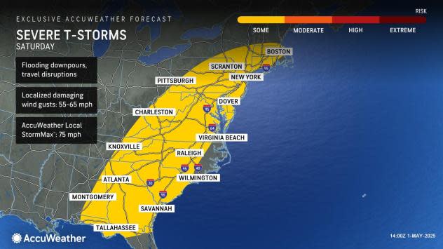
For a deeper look at how severe weather is affecting the broader region—including power outages and infrastructure concerns—read this detailed report from Yahoo News.
Extended Outlook for Columbus and Central Ohio
Following Thursday’s main activity, rain will likely continue through the weekend. Saturday is shaping up to be a "washout" with consistent showers and occasional thunder across Columbus and its surrounding areas. Showers will extend into Sunday, and next week may bring scattered storms before a potential dry spell by Wednesday.
Temperatures are expected to gradually climb into the 70s as the week progresses. However, as conditions remain unsettled, it’s smart to monitor forecasts daily for any changes to the Columbus weather outlook.
Stay Weather Ready in Columbus
It’s vital to stay informed about severe weather risks. Download apps or enable alerts from trusted local stations for up-to-the-minute updates. If severe weather is forecast, secure loose outdoor items, check your emergency kit, and have a safe location identified in your home. For continuous weather news and advice, follow updates from the 10TV Weather Impact Team and keep tabs on ongoing regional developments via AccuWeather’s coverage.
Conclusion
With active patterns returning, staying aware of Columbus weather is more important than ever. Severe storms can develop fast, but preparation makes all the difference. Keep an eye on local alerts, follow reliable sources, and stay safe as you navigate the changing conditions in Central Ohio.