Weather Austin: What to Expect as Severe Storms Hit Central Texas
Austin is known for its unpredictable climate, but this week the weather in Austin is making headlines. Stormy conditions are sweeping across Central Texas, bringing rain, thunderstorms, hail, and the potential for tornadoes. Here’s what you need to know to stay ahead, stay safe, and keep informed with the latest forecasts.
Severe Weather Austin: This Week’s Main Threats
According to forecasts, an active weather pattern is unfolding in Austin with multiple rounds of severe weather. A severe storm alert has been issued for the city and surrounding areas. Residents should prepare for:
- Heavy rainfall: Flooding is possible in low-lying neighborhoods and near creeks.
- Large hail: Some storms could deliver hailstones big enough to cause property damage.
- Damaging winds: Gusts strong enough to topple trees and power lines.
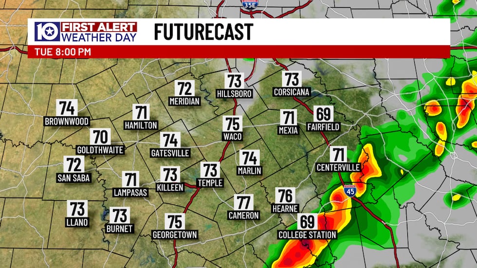
- Isolated tornadoes: While not guaranteed for everyone, experts are tracking the possibility for tornado formation, especially east of I-35.
The National Weather Service warns that storms may impact the Austin metro during morning commutes and could linger into the evening. Keep your emergency alerts on and check forecasts before leaving home.
Tornado Risk and Timing for Austin
The probability for tornadoes has increased for areas east of I-35, making it crucial for residents in these neighborhoods to be extra vigilant Tuesday through Thursday. The main threat period is from early morning into mid-afternoon, with the highest risk after 10 AM.
Strong wind gusts and sizeable hail are also in the forecast. Flash flood risks remain moderate, so avoid driving on flooded roads. If warnings are issued, seek shelter immediately. Safety should be your top priority during this active weather period.
Why is Central Texas Facing So Much Rain?
A rare weather phenomenon called an “omega block” is behind the extended period of rain and storms gripping Austin. Two low-pressure systems are trapping wet weather over Central Texas and stopping the usual flow. This means Austin residents might experience back-to-back days of thunderstorms, heavy rainfall, and severe conditions until at least Thursday.
Meteorologists emphasize that storm impacts can be localized. Not every neighborhood will see flooding or hail, but everyone should remain prepared. If your area misses a storm, it doesn’t mean you’re in the clear.
Staying Informed and Safe in Austin’s Severe Weather
Information is power during severe weather in Austin. Here are tips to stay connected and safe:
- Sign up for emergency alerts via WARN Central Texas.
- Check the National Weather Service Austin/San Antonio Twitter/X account for real-time updates.
- Track power outages and restoration progress on Austin Energy’s website.
- For live road updates, visit ATXFloods.com to see which routes are closed.
Flights at Austin’s airport may face delays or temporary halts due to extreme weather, so plan accordingly if you’re traveling.
Final Thoughts: Prepare and Stay Weather-Aware
As severe storms threaten Austin and the broader Central Texas area, preparation is key. The weather Austin residents face this week highlights the importance of staying alert and informed. From potential tornadoes to flash floods, now is the time to review your emergency plans, check your local forecast, and ensure you have multiple ways to receive alerts.
Stay tuned to local news and official sources for the latest on weather Austin changes. By following expert advice and real-time updates, you can help protect yourself, your loved ones, and your property from this week’s storms.