Weather Fort Worth: Forecast, Trends, and Severe Storm Insights
Staying informed about the weather in Fort Worth is essential, especially when storms and heavy rain are expected. Residents rely on accurate forecasts to plan their daily activities and stay safe during severe weather events. In this article, we explore the latest weather trends in Fort Worth, including what the current patterns mean for the coming days, and how broader weather phenomena can impact day-to-day conditions.
Current Trends: Rain and Storms in Fort Worth
The start of the week has brought an uptick in storm activity across North Texas. According to The Weather Channel, areas like Fort Worth are facing an elevated risk for severe weather, with strong winds and hail possible. With heavy rain predicted to persist, the potential for flash flooding increases, particularly in regions that experience repeat storms within short time frames.
Severe storms aren’t limited to Fort Worth alone. The broader Central and West Texas regions are also under watches for damaging winds and hail. For local residents, it's crucial to monitor weather alerts and have a plan in place in case warnings are issued. The article from The Weather Channel provides detailed updates on areas at risk and outlines the key factors driving these storm patterns.
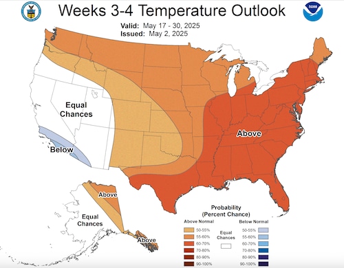
Understanding the Omega Block Weather Pattern
One major reason for the persistent storms and rain is a phenomenon known as the "omega block." This weather pattern disrupts the usual west-to-east flow of the jet stream, causing systems to stall over specific areas. As a result, rain and thunderstorms linger in the same spot for days, raising the risk of flooding and severe storms.
The significance of the omega block is explained in this article on mlive.com, which highlights how this pattern can signal a shift towards warmer, summer-like conditions later in the month. While it may mean some cooler, wetter weather for Fort Worth right now, forecasts suggest that drier and warmer days could return soon—just in time for the end of May.
Safety Tips and Preparing for Severe Weather
Fort Worth residents should stay proactive during periods of unpredictable weather. Here are some essential tips:
- Monitor local weather alerts: Use trusted sources and sign up for emergency notifications from local authorities.
- Prepare an emergency kit: Include essentials like water, snacks, flashlights, and necessary medications.
- Have a plan: Know where to go in the event of a tornado or flash flood warning.
- Avoid flood-prone areas: Do not attempt to drive through flooded roads or underpasses.
Looking Ahead: What to Expect
While the weather Fort Worth experiences right now may seem unsettled, patterns like the omega block typically resolve within a week or two. As the month progresses, experts anticipate conditions will warm and stabilize. This means the upcoming Memorial Day period could offer a return to more pleasant, summer-like weather.
For continuing updates and detailed forecasts for Fort Worth and surrounding areas, check reputable sources such as The Weather Channel's severe weather information and mlive.com's analysis of weather patterns.
Conclusion
Staying aware of the latest weather Fort Worth forecasts is the best way to protect yourself and your loved ones when storms are in the area. With unpredictable weather patterns in play, preparation and timely information are key. Keep visiting trusted meteorological sources for the most up-to-date information, and remember—your safety matters most when the skies turn stormy in North Texas.